
Chattanooga Area Mountain Bike Trails
What Makes Chattanooga Unique
Significant elevation for the Southeast
Rocky, technical terrain
Scenic overlooks and river gorge views
Trail systems in close proximity to downtown, allowing multi-ride days
Extensive trail networks allowing for long-distance riding (River to Clouds Route)
Welcome to Chattanooga, Tennessee — a place where mountains meet river, trails weave through history, and outdoor adventure is a way of life. Known as the Scenic City, Chattanooga sits in the southeastern corner of Tennessee at the base of the Cumberland Plateau, framed by Lookout + Signal Mountains, Stringers + Missionary Ridge, and the Tennessee River. The result is a uniquely dynamic landscape with big elevation, technical terrain, and endless opportunities to explore on two wheels.
Once a rail and manufacturing hub, Chattanooga has transformed into a nationally recognized outdoor destination. Twice named ‘Best Outdoor Town’ by Outside Magazine and most recently dubbed America’s First National Park City, the scenic city has embraced it’s reputation as an outdoor mecca. Today, the city blends historic neighborhoods, a walkable riverfront, and a thriving arts, food, and craft beverage scene with easy access to world-class trails. Downtown coffee shops, local breweries, and chef-driven restaurants make it just as easy to refuel post-ride as it is to find your next adventure.
Chattanooga’s mountain bike community is strong, welcoming, and deeply invested in stewardship. Over the last two decades, local riders and partners — led by SORBA Chattanooga — have worked alongside city, county, state, and federal land managers to create more than 170 miles of mountain bike accessible trails across 13 trail systems within 30 minutes of downtown. These trails range from beginner-friendly flow to rugged, technical climbs and progressive downhill trails that challenge even the most seasoned riders.
This guide is designed to help you experience the best of Chattanooga mountain biking — whether you’re visiting for a weekend, relocating to the region, or discovering new trails in your own backyard. Ride responsibly, respect the land, support local businesses, and enjoy the ride.
Chattanooga Trail Systems
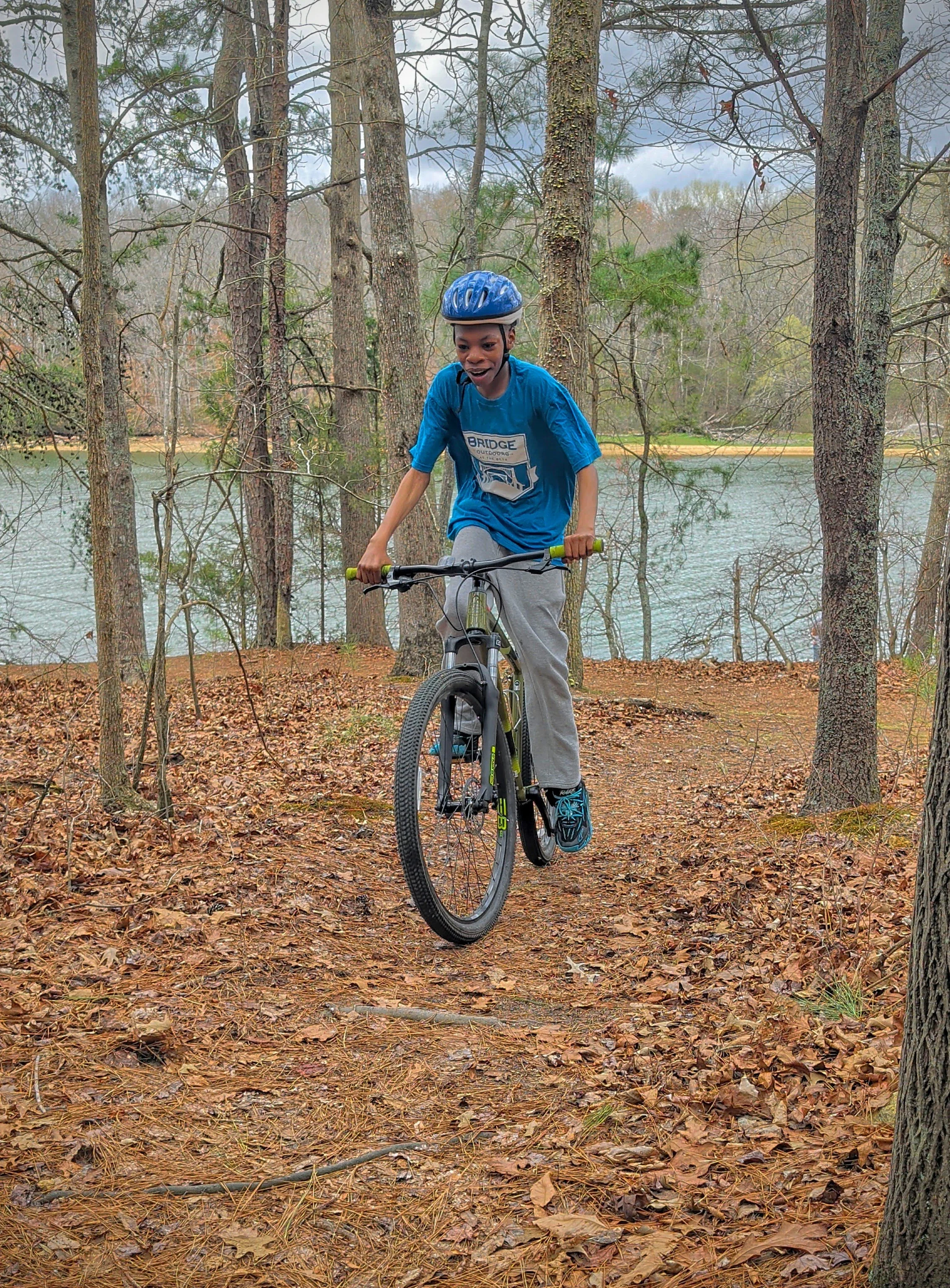
Booker T Washington
7 Miles Total
5 Green
Best for: Beginner to Intermediate
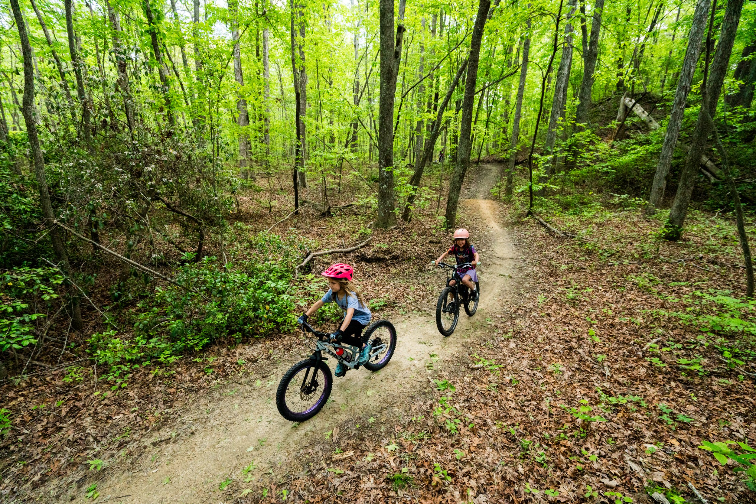
Durham Mine Trails
16 Miles Total
10 Green, 2 Blue, 5 Black
Best for: Beginner to Advanced, aMTB
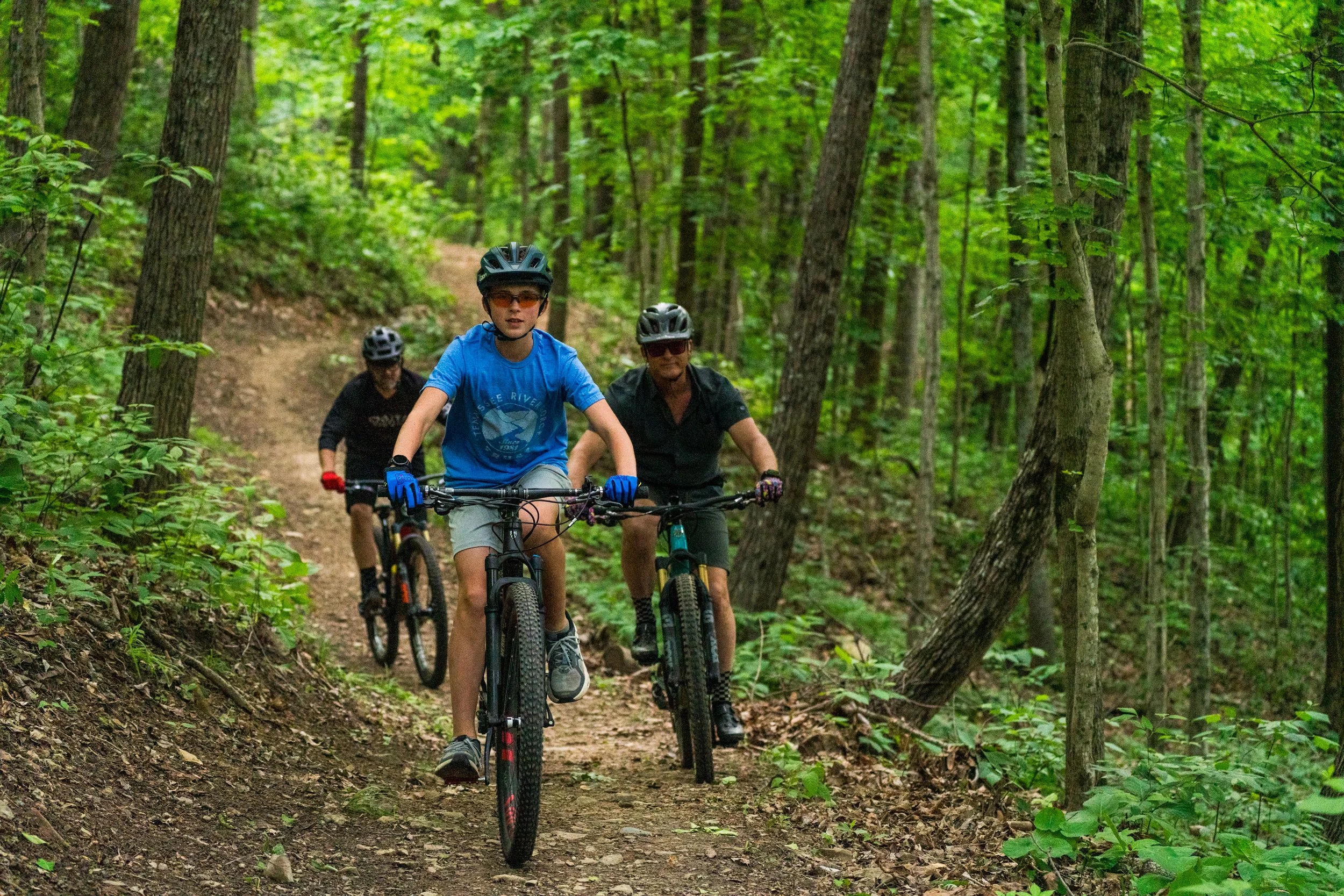
Aetna Mountain Trails
8 Miles Total
2 Green, 2 Blue
Best for: Beginner to Intermediate, aMTB
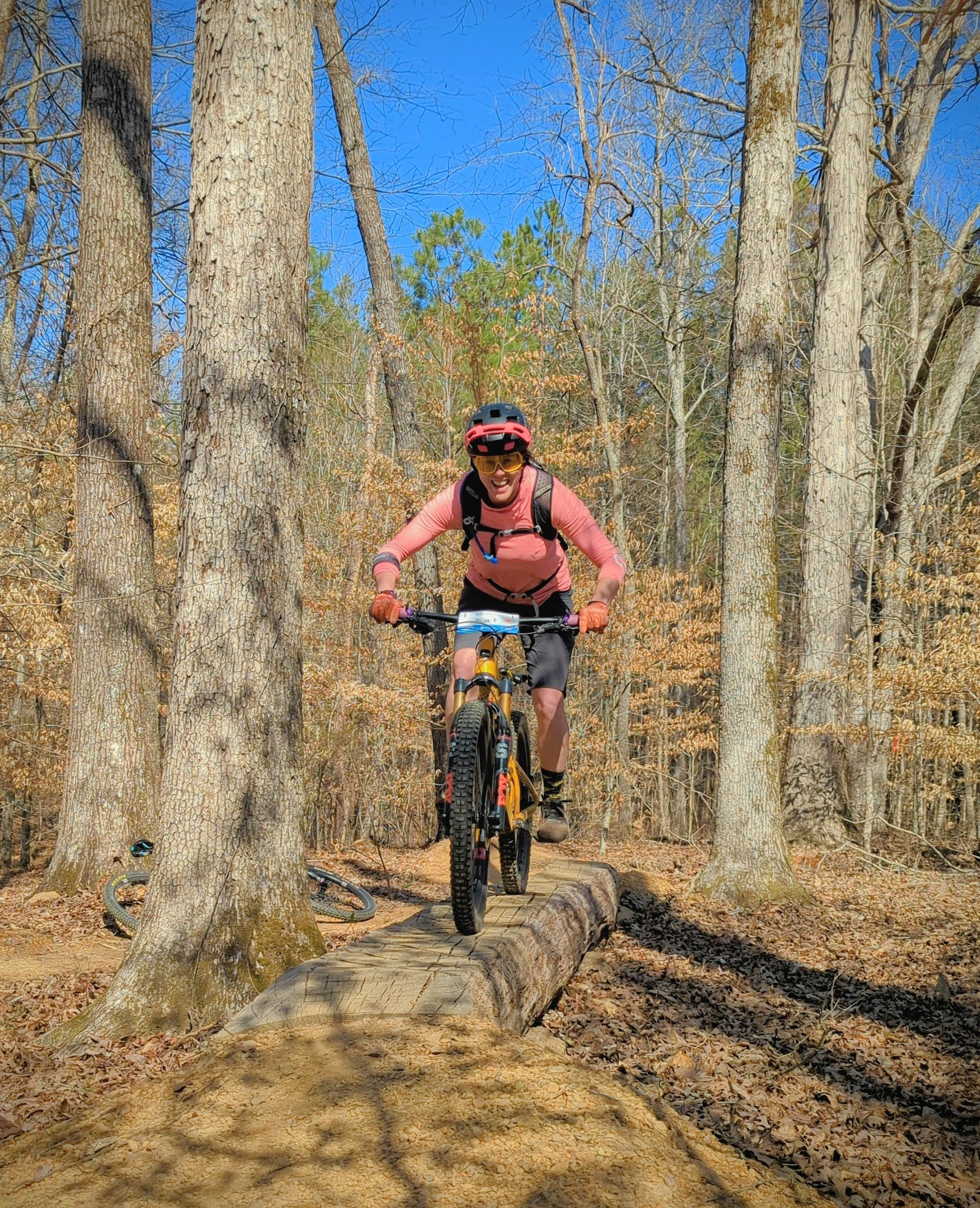
Bauxite Ridge / Fenton Forest
16 Miles Total
3 Green, 5 Blue
Best for: Beginner to Intermediate, aMTB
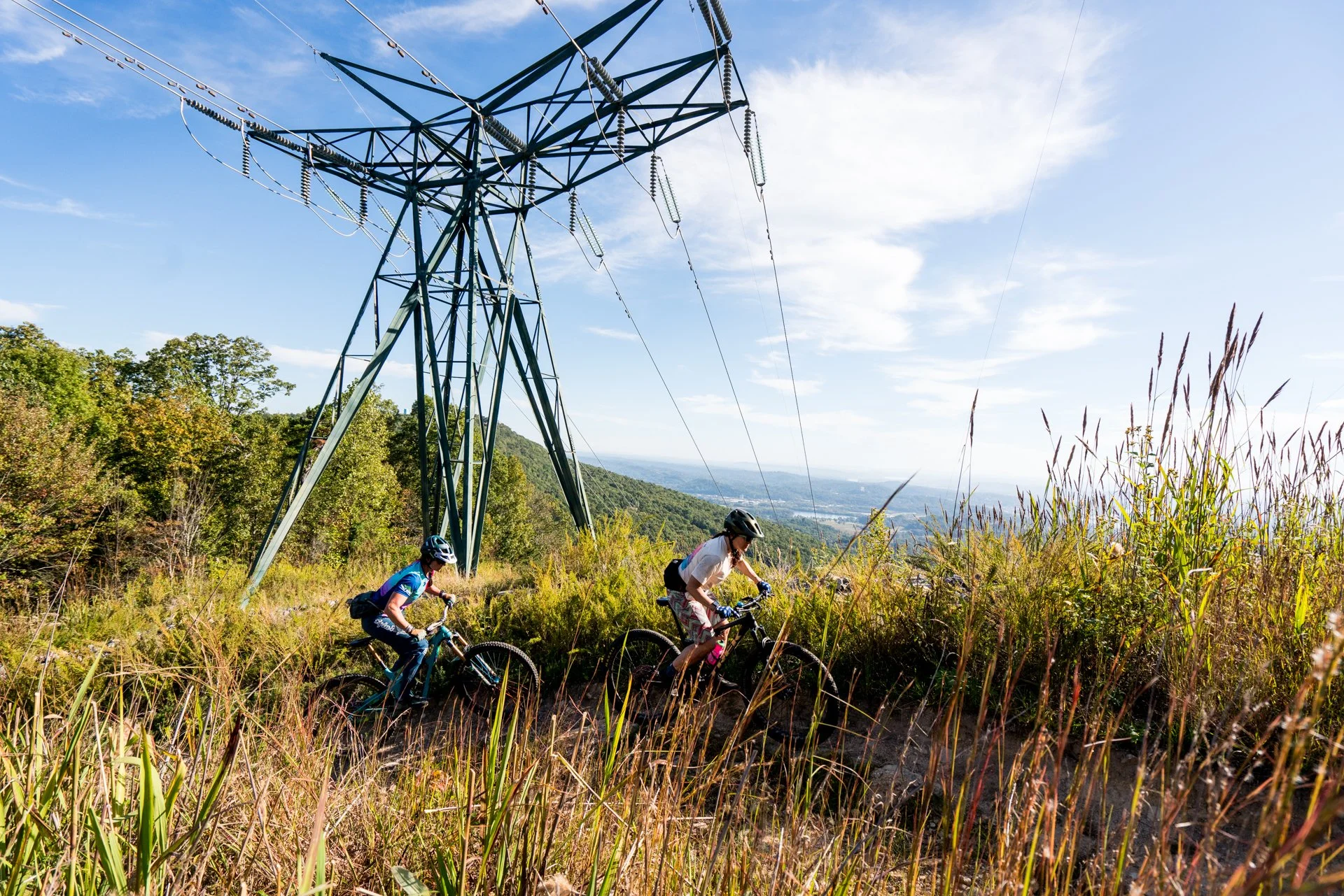
Godsey Ridge Trails
1.5 Miles Total
2 Green, 12 Blue, 8 Black
Best for: Intermediate to Advanced
Harrison Bay State Park
28 Miles Total
2 Green, 12 Blue, 8 Black
Best for: Intermediate to Advanced
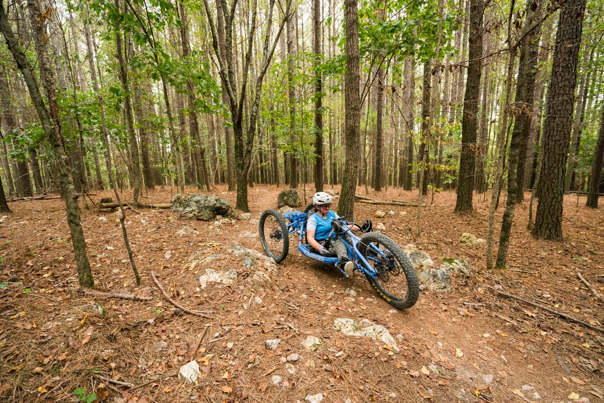
Enterprise South Nature Park
15 Miles Total
2 Green, 2 Blue
Best for: Beginner to Intermediate
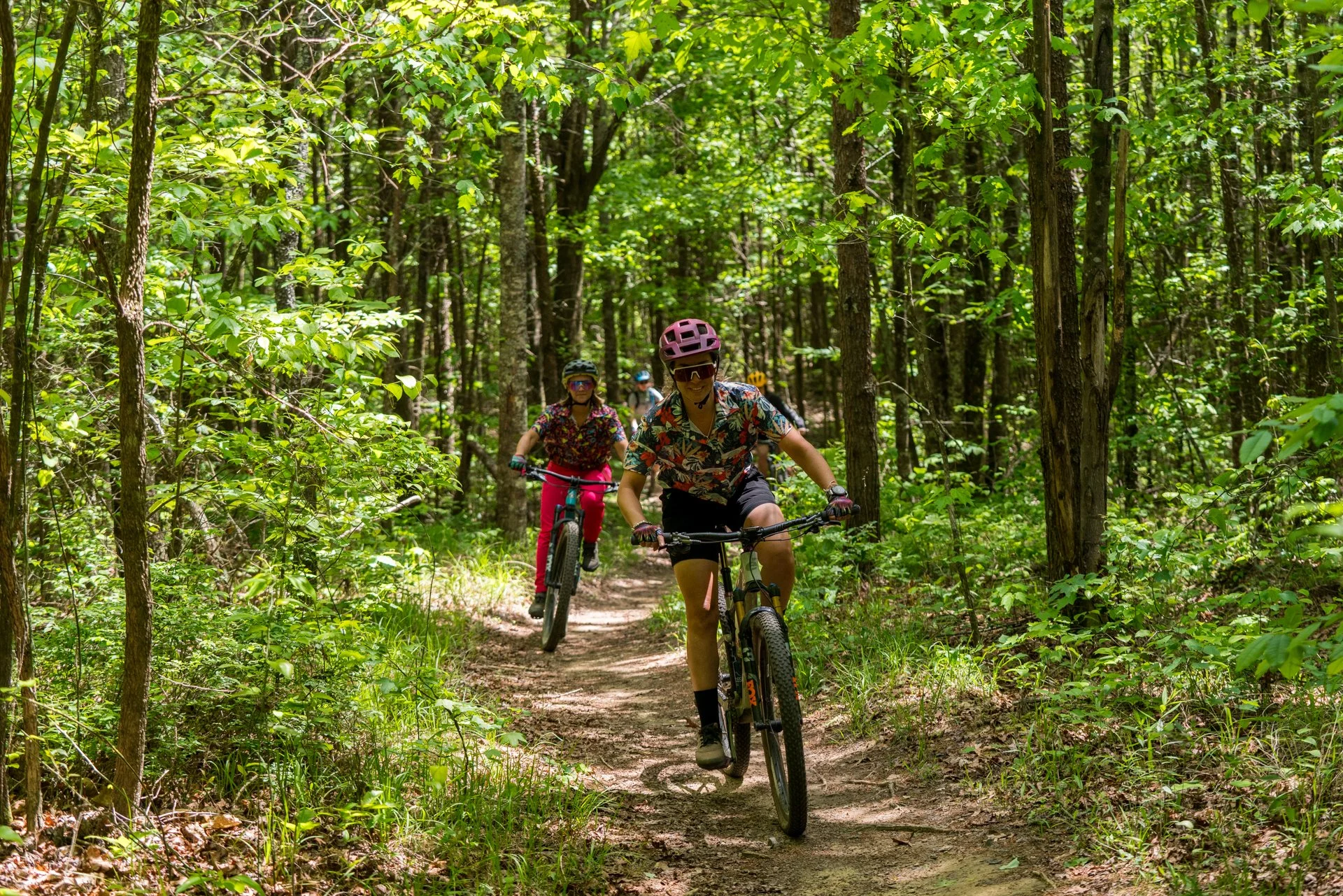
Five Points Recreation Area
38 Miles Total
13 Green, 13 Blue, 3 Black
Best for: Beginner to Advanced
Raccoon Mountain Recreation Area
Trail System Highlights
28 Miles Total
2 Green, 12 Blue, 8 Black
Best for: Intermediate to Advanced
Aetna Mountain Trails
Trail System Highlights
8 Miles Total
2 Green, 2 Blue
Best for: Beginner to Intermediate
Bauxite Ridge / Fenton Forest
Trail System Highlights
30+ Miles of Trail
1 Road/Gravel, 6 Green, 3 Blue
Best for: Intermediate to Advanced
Raccoon Mountain Recreation Area
Trail System Highlights
28 Miles Total
2 Green, 12 Blue, 8 Black
Best for: Intermediate to Advanced
Aetna Mountain Trails
Trail System Highlights
8 Miles Total
2 Green, 2 Blue
Best for: Beginner to Intermediate
Bauxite Ridge / Fenton Forest
Trail System Highlights
30+ Miles of Trail
1 Road/Gravel, 6 Green, 3 Blue
Best for: Intermediate to Advanced
Trail Systems Overview
From First Rides to Full Send
Chattanooga offers a diverse mix of trail systems spread across city, county, state, federal and private lands. Trails are generally color-coded using standard IMBA difficulty ratings:

Beginner/novice cyclists who are developing their off-road riding skills.
Trail and Surface Types
Relatively flat and wide but can be rolling with short climbs, short descents and narrow single-track sections.
Trail surfaces can include gravel, dirt, wood bridges, and grass sections.
Trail surface may include rocks, roots, berms and rollers.
Suggested Fitness Level
Suitable for most people in good health.
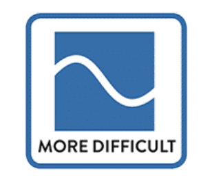
Intermediate cyclists/mountain bikers with off-road riding skills and the ability to navigate challenging terrain.
Trail and Surface Types
Moderately steep climbs and descents with the potential for increased speed and jumping.
Trail surface is commonly gravel and dirt with bermed corners and rollers.
Will have uneven surfaces such as large rocks, roots, rock-armoured sections and wood features.
Suggested Fitness Level
Higher level of fitness and stamina.
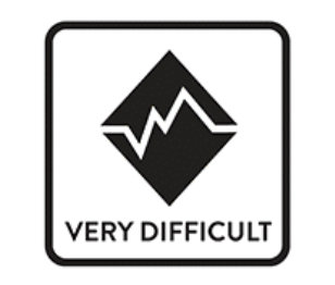
Advanced mountain bikers with the ability to navigate very challenging terrain at high speeds.
Trail and Surface Types
Steep climbs and descents with difficult trail features.
Advanced technical features including jumps and drops with a high level of risk.
Trail surfaces can include rough rock sections, wood features, gravel and dirt.
Suggested Fitness Level
Very active people used to prolonged effort.
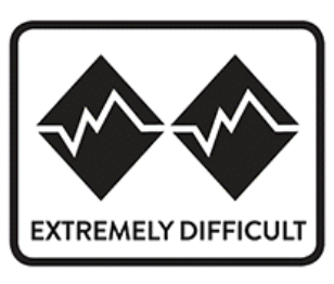
Riders with an elite level of technical ability, skilled bike control, and with advanced jumping ability.
Trail and Surface Types
Very steep climbs and descents with extremely difficult trail features.
Advanced features include mandatory jumps and drops with extreme risk.
Trail surfaces can include rough rock sections, elevated skinnies, exposure, drops and gaps.
Suggested Fitness Level
Very active people used to prolonged effort.
Best Time to Ride
Chattanooga’s rocky soil drains well, but always respect trail closures and wet-weather guidelines to protect trail sustainability.
Climate, Weather & Seasonal Tips
Spring (Mar-May)
Spring brings blooming wildflowers, cooler temperatures, and hero dirt. Expect daytime highs in the 60s–70s°F. Rain is common, so check trail conditions and give trails time to dry after storms.
Summer (Jun-Aug)
Summers are hot and humid, with temperatures often in the 80s–90s°F. Early morning or evening rides are best, and shaded trail systems in higher elevations like Five Points or Raccoon Mountain offer relief.


Fall (Sep-Nov)
Fall is prime riding season. Cooler temps, low humidity, and vibrant foliage make this the most popular time to visit. Expect crisp mornings and daytime highs in the 60s–70s°F.
Winter (Dec-Feb)
Winters are generally mild, with occasional cold snaps or light snow. Many days remain rideable, especially during dry stretches. Expect tempes in the 30s–50s°F, making winter a favorite season for locals.

Trail Etiquette
Chattanooga’s trails are shared spaces. They are built and maintained through partnerships between volunteers, land managers, and the community. Riding responsibly helps keep trails open, safe, and sustainable for everyone.
Ride Open Trails Only
Always check trail status before heading out. Wet-weather and freeze-thaw closures protect trails from damage and help prevent erosion. Respect all posted signs and temporary closures.
Yield Properly
Mountain bikers yield to hikers and equestrians. When approaching others, slow down, communicate clearly, and pass only when it’s safe and welcomed.
Ride Within Your Ability
Many Chattanooga trails are rocky, technical, and steep. Choose routes that match your skill level and progress responsibly.
Stay On Trail
Cutting switchbacks or riding off-trail causes erosion and damages sensitive habitats. Please stay on designated routes and respect trail boundaries.
Leave No Trace
Pack out what you pack in. Avoid skidding, widening trails, or creating alternate lines. Respect wildlife and keep noise to a minimum.
Be an Ambassador
A friendly wave, clear communication, and courtesy go a long way. How riders behave directly impacts trail access and future development.
Land Managers & Stewardship
Chattanooga’s trail network exists thanks to collaboration between land managers, local government, nonprofits, and volunteers.
Primary Land Managers Include:
City of Chattanooga
City of Red Bank
Hamilton County
Tennessee Valley Authority (TVA)
Tennessee State Parks
Georgia State Parks (Department of Natural Resources)
Chattanooga & Chickamauga National Military Park (NPS)
Cherokee National Forest
Private landowners and conservation partners such as Lula Lake Land Trust, Tennessee River Gorge Trust, Lookout Mountain Conservancy, Reflection Riding, and Southern Adventist University
Each land manager has unique rules, priorities, and environmental considerations. Trail access depends on continued trust, responsible use, and active stewardship.
SORBA Chattanooga’s Role
SORBA Chattanooga partners with land managers to:
Design, build, and maintain sustainable trails
Coordinate volunteer trail work
Advocate for access and responsible land use
Educate riders and grow the trail community
Secure funding for maintenance and new projects
How You Can Support the Trails
Volunteer at trail work days
Become a member of SORBA Chattanooga
Donate to trail maintenance efforts
Respect closures and trail guidelines
Share feedback constructively and locally
Trails don’t maintain themselves.
Every ride you enjoy is the result of countless volunteer hours and community investment.